Geoid Determination
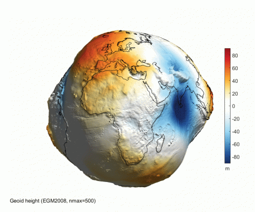
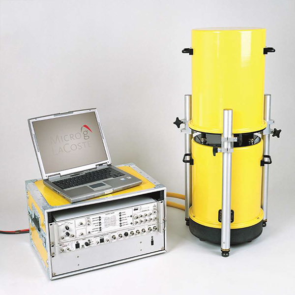
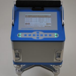
Knowledge of the shape of the geoid is crucial to accurate use of high precision GPS methods underlying the infra-structure of modern society. Since the shape of the geoid is a product of the earth’s density distribution, gravity measurements are fundamental to the accurate mapping of the geoid shape. Absolute measurements with A10 and FG5-X instruments provide the base stations for surface networks enabling the use of relative instruments such as the CG-6 Autograv™ gravity meters to high spacial frequency mapping over extensive areas. Dynamic airborne and marine gravity surveys provide lower spatial frequency measurements economically over extensive areas. The combination of static ground, dynamic airborne and marine and satellite gravity and surface topography allows the most accurate calculation of the geoid surface.
Products
- Automated leveling
- Battery operated
- Temperature controlled sensor
- Ideal roadside operation from a vehicle
- Extended free-fall chamber length
- Improved Electronics
- Improved reliability
- Redesigned drive system
- Built-in collimation optics for verticality alignment
- Drag-free chamber surrounds the free-falling test mass
- Portable standard in Absolute Gravity

